
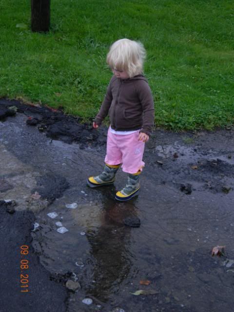
It rained ALL night last night again. This flood is WORSE than the flooding of 2006! Water is flowing OVER the flood walls around Binghamton and the city itself has been evacuated. Nobody is allowed in, there is a few bridges open to let people leave.
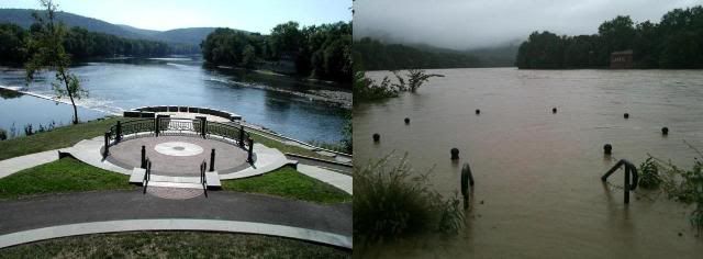
This picture, I found on Facebook. It’s not mine, it’s not from somebody I know but it’s a place I’ve been to. Jimmy’s mom had her wedding pictures taken here. This is Confluence Park where the Susquehanna River meets the Chenango River.
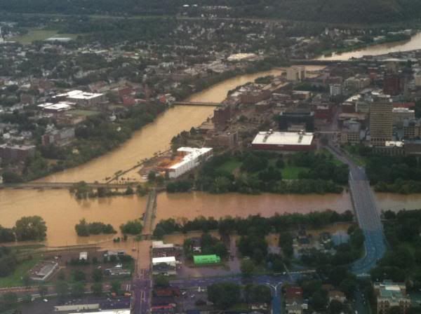
This picture is an aerial view of the State Street Bridge on the left, Washington Street Bridge (foot bridge covered with water) on the right and the Arena in the middle. You can see the roads covered with water. This is Jimmy’s way into work. He’ll have to find a new way in tonight.
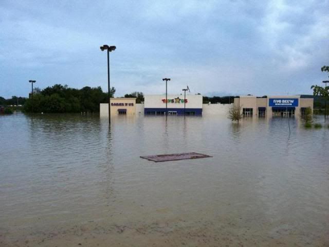
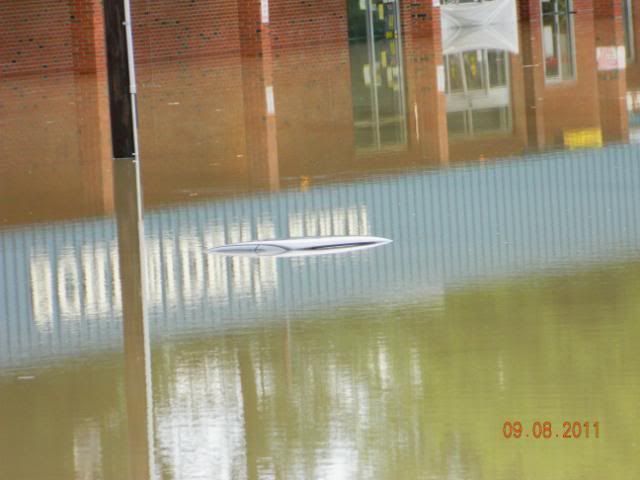
This next picture is really the most devastating picture in my life right now. This is where my pay check is supposed to be delivered today and it’s where I’m supposed to work the next few days. It’s not going to happen.
———————————-
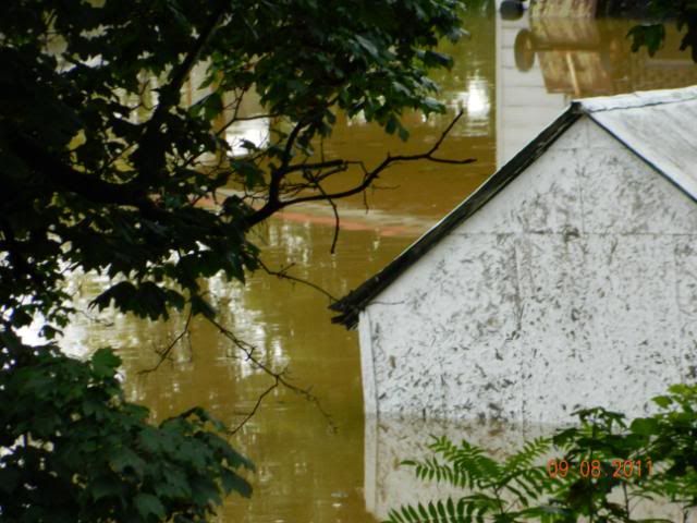
These next pictures are taken by me at the end of my road. This is the Susquehanna River backed up along the Stanley Hallow Creek. We are uphill from this area so we should not be directly involved in flooding. A neighbor does have water in his apartment through the sliding glass door but we are fine right here as well.
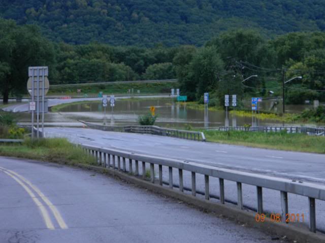
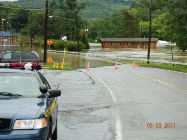
This is right before the curve heading towards the park. Route 17 extension is, as you can see, under water.
Checking out the “river” running down our street. This water is coming UP out of a manhole cover (photos near the end of this post) and is running pretty fast!
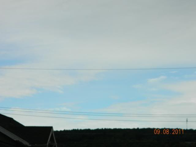
The sky really didn’t look very good at this point but it never did rain again.
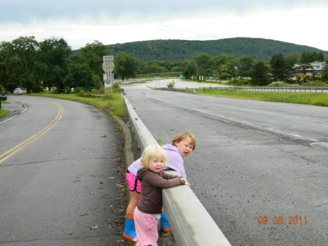
There is NO foot traffic over the creek today.
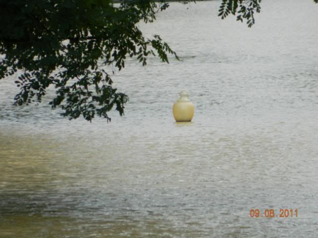
To reference, this is the top of a light that goes around the walking park. It’s about seven feet tall.
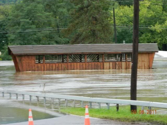
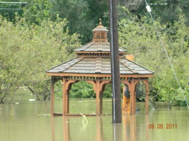
We always stop and take a break in the gazebo. We can’t even get close to it.
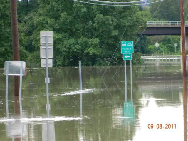
Looking for the traffic. There isn’t any.
More covered street lights.
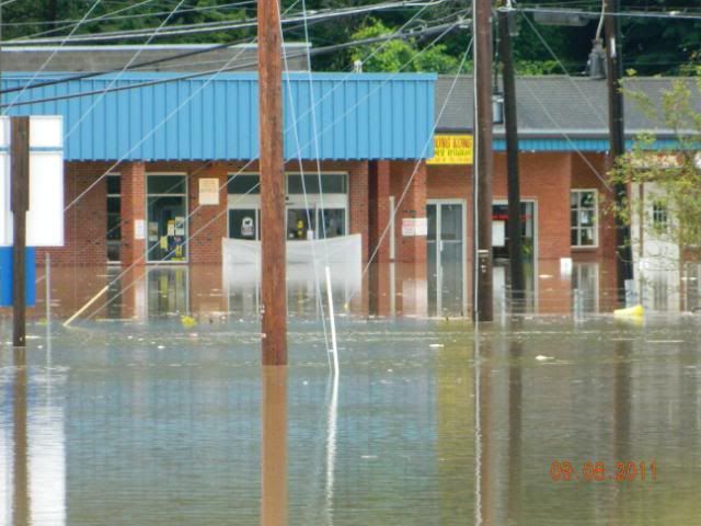
At our Post Office, which is closed of course.
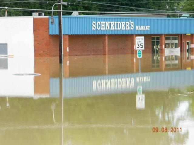
Our local grocery store.
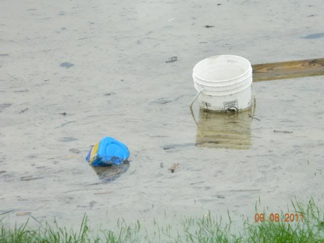
A few rules when checking out the flood water, don’t go near it, don’t touch it, don’t taste it! And this is why. Not only did it look gross but it smelled really bad as well.
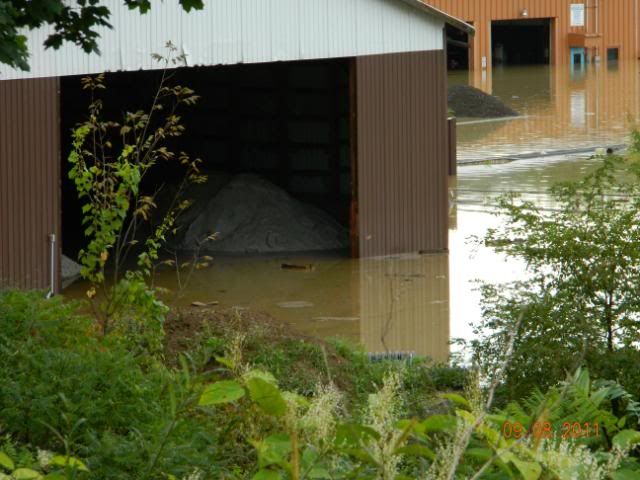
The town garage.
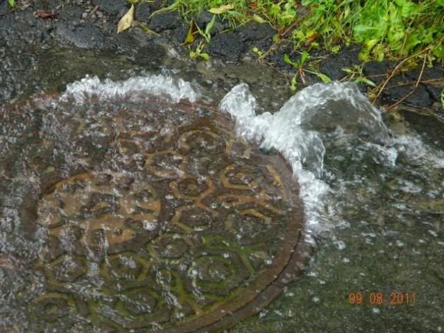
Here is that man hole cover where the “river” comes from that goes down the street. I’m surprised the cover is still on.
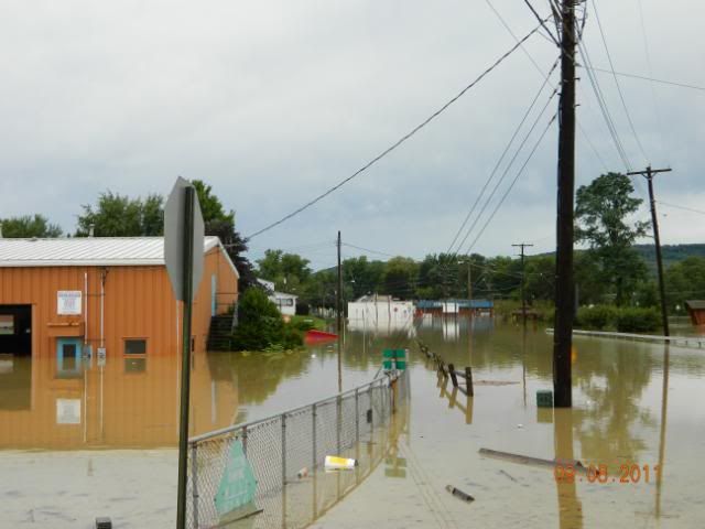
These next pictures were taken from the intersection of Francis Street and Crescent Drive which is completely under water. This is a picture of a car that did not get removed before the water came. The person who lives in the house on the corner said there are two cars in the road and one in the parking lot. I only saw one car.
There is a playground under the water in this picture.

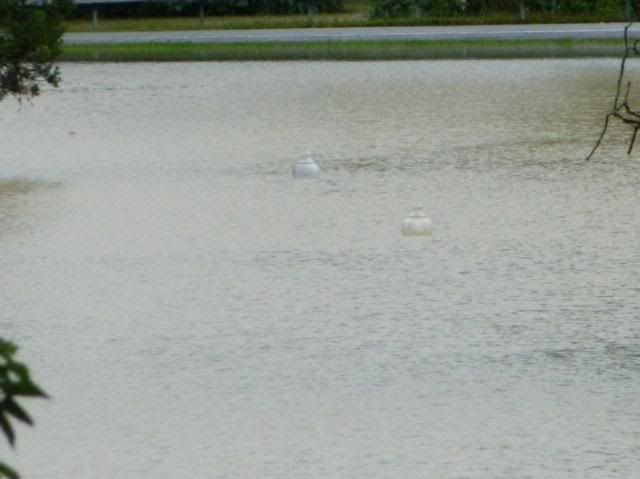
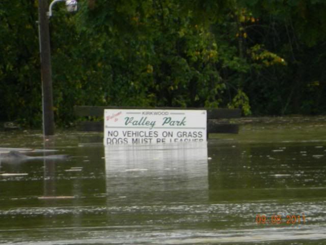
The top of the basketball net at Valley Park.
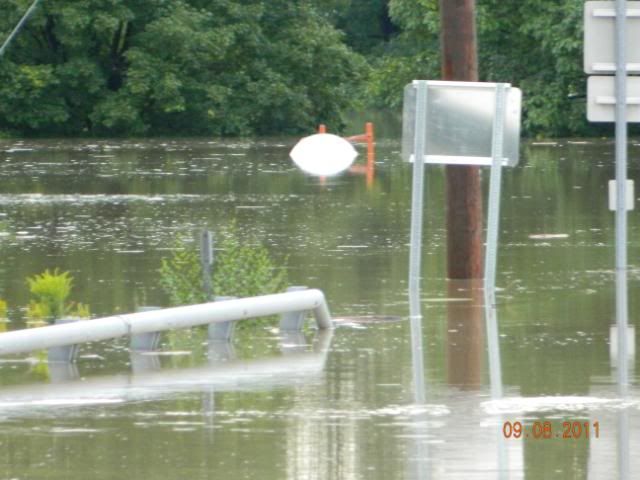
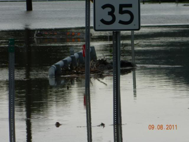
Debris at the bridge over the creek.
Our winter salt is being washed away.
The house four doors down. This is their garage. Hopefully their basement is ok.
And I see blue skies!! Hopefully this is a sign of no more rain??
There is some good videos on this link here.
This video was taken from the road right outside our door.
An article on the seriousness of the situation here.
Twitter is a good place to find everything all in one spot. More photos, videos and word from the Greater Binghamton area. (Thanks Keith for hooking me up to it.)
Edited to Add:: This link is a video taken right at the Crowley Plant on Conklin Ave. The water was nowhere near this close to the top in 2006. So very scary.
I’ll probably be adding links and photos as they come up to document this historic event.
An article from WBNG about the levy in Vestal near the Rail Trail.
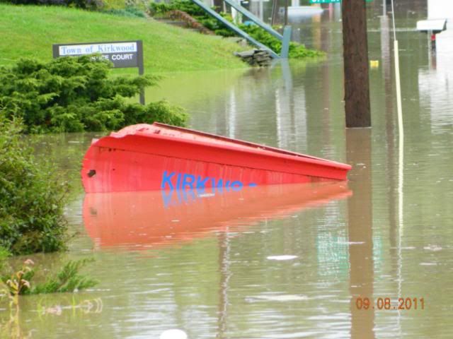
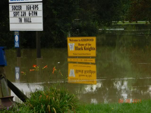
This page has photos of Kirkwood under water. River Park is completely under water.
Facebook as a page devoted to the Flood of 2011 already.


Pingback: Binghamton Senators Arena - Jacob Wozniak